Pam Sykes’ Journey: From archaeology in California to infrastructure in Tennessee
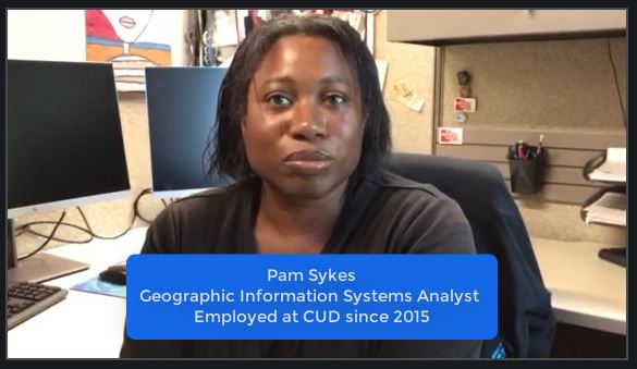
Her work is part Indiana Jones, part mapmaking, and part drone flights. Pam Sykes, a GIS Analyst (geographic information system) with CUD since 2015, wouldn’t have it any other way. We caught up with her to ask how she got her start and learn why drones are so useful to a water utility.
Even though your degree is in a different field, it still lends itself to your work. Can you tell us how that happened?
Pam: “I started doing GIS work about 2006. I moved to California after college. My degree is in anthropology, and I did archaeological work for state parks out there. They needed a GIS person since theirs was leaving, and I said why not? So, I learned on the job. I’ve enjoyed using GIS for anthropology because it was an interesting way to map old sites. I enjoy doing it for water because it’s simply fun for me.”
So that leads to CUD …
Pam: “I’ve been [with CUD] since 2015. When I first started, I had no clue that there was so much involved with water. I thought: Turn on my tap, there’s my water. Pipes are out there doing their job. Didn’t realize there was so much involved, especially with our STEP system, replacing the old pipes with ductile iron. It’s a big job for (our field employees). What I do is just a small reflection. And it’s really fun because sometimes I learn more about Rutherford County than I would ever have known.”
How do you use drones in your work?
Pam: “We’re currently flying drones over all of our water tanks and mapping them to look for any damages – which is a great help for our guys. They don’t have to climb up there, so it’s useful for safety. It also gives me more flight training with drones. So, this is another part of drone technology that we can use. It’s not just about going out and mapping sites or water lines to make sure everything is operating.”
But it’s more than flying drones. You’re working toward certification.
Pam: “I’m currently working toward my FAA [Federal Aviation Administration] pilot license. I plan to do that by the end of this month. When that’s done, CUD will have two licensed drone pilots.”
Bethany [Hall], CUD’s other GIS Analyst and drone pilot, already has her drone license. I always thought that was cool – especially as we’ve seen greater usage of drones. At first, they seemed like toys, now we see they’re tools.”
“Getting my license will greatly help my work. Rutherford County is growing so fast that we can’t wait half a year to get aerial footage. We’re growing so fast we need it almost monthly. For STEP sites and pump stations, any of that, it just helps us get better information that helps water quality. That includes flying over the water treatment plant.”
So instead of using her degree to study the past, Pam Sykes is helping Rutherford County manage its future.
Related Articles

Why Cybersecurity at CUD Is a Full-Time Job
Cyberattacks are unfortunately part of our new normal. For public utilities, the work involved with building and maintaining strong online defenses is an everyday effort because essential services present an

Scan this code with your phone’s camera to view our 2020 Water Quality Report
This year, we’re doing something different. Yes, the annual Water Quality Report will still arrive in June and July billing statements. However, CUD wants to transform what is typically a